


The 2nd Aerospace Information and Remote Sensing Satellite Technology Equipment Exhibition (CRSAE 2026)
- Industry: Communications / Electronics
- Time: 2026/09/03 - 09/05 (Thur To Sat Total 3 Days) Error Correction
- Address: Jiangsu·Nanjing nanjing international exhibition center ChinaJiangsu ProvinceNanjingXuanwu District No. 88 Longpan Road, Nanjing
- Sponsor:China Association for Remote Sensing Applications
- Organizer:Beijing Tianxia Exhibition Co., Ltd
34Days To Go


- Telephone:010-63381768
- Contact:Ge Mengying
- E-mail:3881786648@qq.com
- Address:No. 88 Longpan Road, Nanjing

INTRODUCTION
 - www.globalomp.com")
 - www.globalomp.com")
With the continued implementation of the 14th Five Year Plan and the 2035 Vision Outline, the aerospace information industry will continue to strengthen its cutting-edge layout in scientific and technological innovation, industrial integration, business models, and other aspects, expand its application scenarios, and build a more complete ecosystem of the entire industry chain.
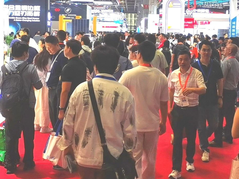
The 2nd Aerospace Information and Remote Sensing Satellite Technology Equipment Exhibition (CRSAE 2026) will be held from July 10-12, 2026 at the Nanjing International Exhibition Center in Jiangsu Province (No. 88 Longpan Road). The conference is hosted by the China Remote Sensing Application Association and will establish a high-level industry exchange platform, gathering leading enterprises, research institutions, and industry experts from the industry who have already applied enterprises and institutions to jointly explore the latest development trends of aerospace information technology, share cutting-edge scientific research achievements and innovative application cases, promote opportunities for communication and cooperation in the upstream and downstream of the industry chain such as research and development, design, production and manufacturing, and application terminals, and help promote the high-quality development of China's aerospace information and remote sensing satellite technology field.
Scope
Scope of Aerospace Information Exhibition:
Relevant technical equipment for information acquisition, processing, transmission, and application on aviation, near space, aerospace, and deep space platforms; Including but not limited to: commercial aerospace, satellite applications, deep space exploration, ground system equipment, etc
Remote sensing satellite equipment and technology:
Satellite system: including various satellite systems such as low orbit broadband communication satellites, remote sensing satellites, etc;
● Airborne remote sensing equipment: high-resolution CCD digital camera, lightweight optical camera, multispectral imager, infrared scanner, laser scanner, magnetometer, synthetic aperture radar, etc;
Image processing and analysis software: remote sensing image processing software, high-definition monitoring equipment, image transmission system, laser ranging, panoramic camera, multifunctional optical stabilization platform, low light TV camera, framing camera, aviation video recorder, etc;
Data transmission and communication equipment: satellite data transmission system, communication link equipment, ground receiving station equipment, etc
Navigation and Control Technology:
● Navigation and positioning equipment: navigation receiver, inertial gyroscope integrated navigation GPS、GNSS、 Inertial navigation, gyroscope, integrated navigation, magnetometer, Beidou chip, etc;
Control system: automatic control system, autopilot, flight control software and hardware, simulation system, speed measurement device, control simulation, virtual reality system, servo mechanism, etc.
Communication and Data Link Technology:
Communication equipment: satellite communication antenna, wireless link, satellite digital data link transmission, ground control station, equipment vehicle, receiver, transmission system, communication system, repeater, portable satellite communication station, vehicle mounted SNG, etc.
Surveying and Geographic Information Equipment:
Surveying and measurement equipment: total station, theodolite, level, LiDAR, 3D laser scanner, mobile measuring vehicle, unmanned ship, rangefinder, marine surveying equipment, etc;
Geographic Information System Software: 3S (GPS, GIS, RS) spatial data acquisition, processing, and processing software, etc
Drones and Aerial Remote Sensing Equipment:
Unmanned aerial vehicle platforms: various types of fixed wing, multi rotor unmanned aerial vehicles, electric vertical takeoff and landing vehicles (eVTOLs), helicopters;
● Aerial remote sensing payloads: aerial photogrammetry cameras, airborne synthetic aperture radar, high-definition monitoring equipment, image transmission systems, infrared night vision equipment, laser rangefinders, panoramic cameras, low light television cameras, aerial video recorders, etc
Application field display:
Industry application cases: Application cases of satellite communication, navigation, remote sensing technology in urban safety, transportation logistics, marine economy, natural resources and other fields;
Smart City and Intelligent Transportation: Smart City Management System, Intelligent Transportation Geographic Information System, etc. based on satellite remote sensing and navigation technology
Future technology and innovation, new satellite technology;
Application areas display aerospace information and remote sensing satellite technology application services, industrial parks, industry organizations, capital, media journals, etc;
Costs & Precautions
Please contact the exhibition organizer before participating in the exhibition to confirm.
 - www.globalomp.com")
 - www.globalomp.com")
Contact
- Telephone:010-63381768
- Contact:Ge Mengying
- E-mail:3881786648@qq.com
- Address:No. 88 Longpan Road, Nanjing
Disclaimer
The information on this site comes from the network and related members, and the website has done its duty to review it. Due to the uncontrollability of the process of organizing the exhibition, some of the exhibition information in the station may change the subject matter, Extending or cancelling the event, please exhibitors and visitors must check with each other again before exhibiting! All the exhibitions in this site are not hosted/co-organized or organized, if there are any disputes during the exhibition, please hold the main responsibility of the exhibition organization! QQ Email: 523138820@qq.com WeChat: 523138820 Mobile: 15313206870


加载中...
加载中...


